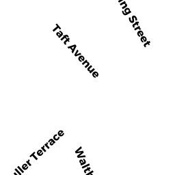
8 TAFT AVE
Owner Information
TAN SHI CHAO
8 TAFT AVE
NEWTON, MA 02465


Property Details
8 TAFT AVE is classified as a Single Family Residential (Old style).
The primary structure on this property was built in 1906. There are 2,370ft2 of built area within this property. There is 1,308ft2 of residential/living space within this property. This property is listed as having 6 rooms.
8 TAFT AVE is valued at $616,200. The land is valued at $512,700 and the structures are valued at $103,500.
This property is in Zone SR3. Confirm with local Zoning Board authorities to ensure there are no overlays or other easements on this property.
The most recent deed for 8 TAFT AVE is recorded at the local registrar in Book 64496, Page 463. 8 TAFT AVE was last sold on Wednesday, November 12, 2014 for $516,000.
Assessment data from fiscal year 2022.
Flood Data
According to the FEMA National Flood Hazard Layer, this property does not appear to be in a flood zone. It may also be in an area not yet reviewed. Nonetheless, confirm this information prior to taking any action.
To view the flood hazards around this property, create a FEMA "Firmette" Map of the area around 8 TAFT AVE.
Broadband Internet Providers
| Provider | Type | Bandwidth (mbps) | |
|---|---|---|---|
| Viasat Inc | Satellite | 100 | 3 |
| VSAT Systems, LLC. | Satellite | 2 | 1 |
| HughesNet | Satellite | 25 | 3 |
| GCI Communication Corp. | Satellite | 0 | 0 |
| RCN | Cable | 1000 | 20 |
| RCN | Cable | 500 | 20 |
| Comcast | Cable | 1000 | 35 |
| Verizon New England Inc. | Fiber | 940 | 880 |
| Verizon New England Inc. | DSL | 3 | 0 |
Broadband service provider data from December 2020.
Adjacent Properties
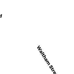
- 186-188 WALTHAM ST
Two-Family Residential owned by MARZILLI MARIA V TR - 180-182 WALTHAM ST
Two-Family Residential owned by 180 WALTHAM STREET LLC - 12 TAFT AVE
Single Family Residential owned by WALSH KAREN E - 2-4 TAFT AVE
Two-Family Residential owned by GALLANT LOUIS F L/E - 10 HARDING ST
Single Family Residential owned by MARZILLI MARIA VINCENZA